FEATURED EXPERIENCE NO. 14

Explore The Topography of Terror

Site Of The Former Nazi SS-Gestapo Headquarters

One of Berlin’s most famous museums, the Topography of Terror was built on land once occupied by the terror organs of the Nazi regime – the international base of operations for the SS (Schutzstaffel) paramilitary organisation and GeStaPo secret police – the Reich Security Main Office (RSHA).

The story of the museum’s concept, and conception, is one of confrontation – the important questions and uncomfortable answers. An earnest attempt to unmask the inner workings of Nazi Germany’s ideological warriors – their motivations, their justifications, and take stock of a system that normalised cruelty and rewarded ruthlessness.

The kind of belated confrontation that would not take place in the public post-war trials of Nazi criminals arranged by the victorious Allies – but take decades for the conditions in German society for this kind of impartial internal evaluation to be reached. Not until the 1980s would this happen – in-fact more than 40 years after the end of the Second World War. Strangely co-inciding with two US presidential visits.

When US President, Ronald Reagan, arrived in West Berlin in June 1987, it was to a mixed reception. Restrictions were placed on transportation, and a huge police presence in the city was established to counter expected demonstrations. Although this visit is popularly remembered for the words he spoke on the western side of the Brandenburg Gate, imploring Soviet premier Nikita Krushchev to: “Open this gate…Tear down this Wall.”, it would not be his only visit to Berlin, or Germany, during his time in office – nor his most controversial. 

Two years earlier in May 1985, Reagan had visited the Bitburg Cemetery in West Germany, and causing international uproar with his actions – intensely criticized for not cancelling his commemorations of the end of the Second World War there when it was discovered that 49 members of the Waffen-SS, the military arm of Nazi Germany’s SS (Schutzstaffel), were also buried in the cemetery.
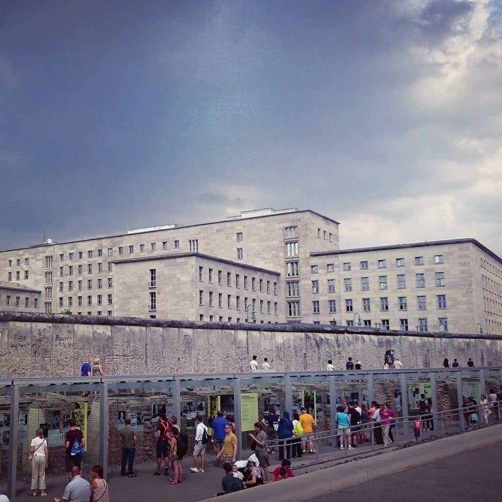
Berlin Wall and Nazi Aviation Ministry
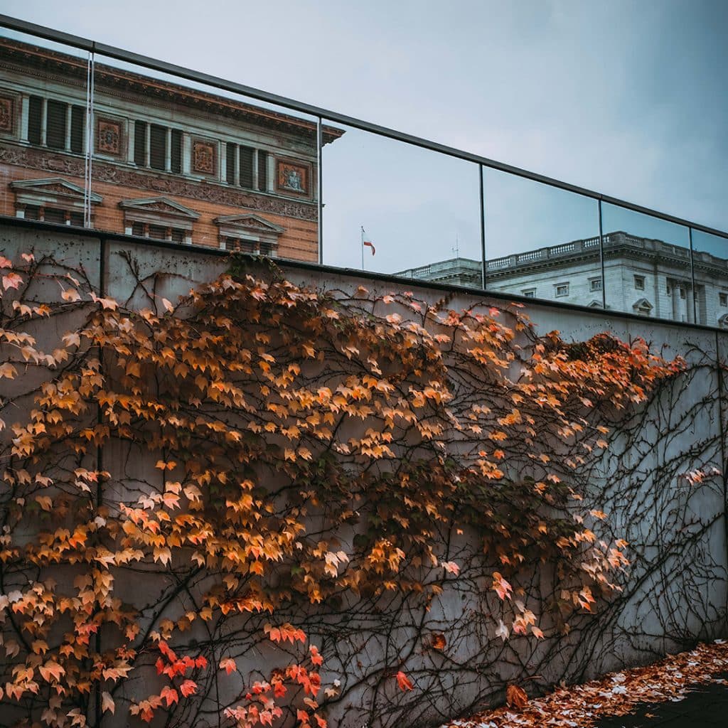
Back of the Topography of Terror - Martin Groupius Bau - Berlin Parliament
The same month, a symbolic excavation ceremony was held on the grounds of the former SS headquarters, the Reich Security Main Office (RSHA), on what was previously known as Prinz-Albrecht-Strasse. In 1985, this disputed plot of land stood in the shadow of the Berlin Wall, in the West Berlin district of Kreuzberg, only 1,5km south of the city’s most iconic monument and where Reagan would speak in 1987 – the Brandenburg Gate. 

The site destined to become what is now known as Topography of Terror.

Here at this location, from 1933 until 1945 – the 12 years of National Socialist rule – were the offices of some of the most feared organisations in Europe, if not the world. The headquarters of the Sicherheitspolizei, SD, Einsatzgruppen and GeStaPo. Controlled by Reichsführer-SS, Heinrich Himmler, and tasked with ensuring the realisation of the Nazi Party’s ideological goals while spreading terror across the continent. 

Not only would these organisations form the spiritual backbone of the regime – the intelligence services and secret police – but the criminal police would also eventually fall under the control of the Reich Main Security Office (RSHA). In this capacity, as the centralised institution involved in implementing Nazi doctrine, the RSHA held the power of life and death over every person who fell under the dominating boot of Nazi control or occupation.
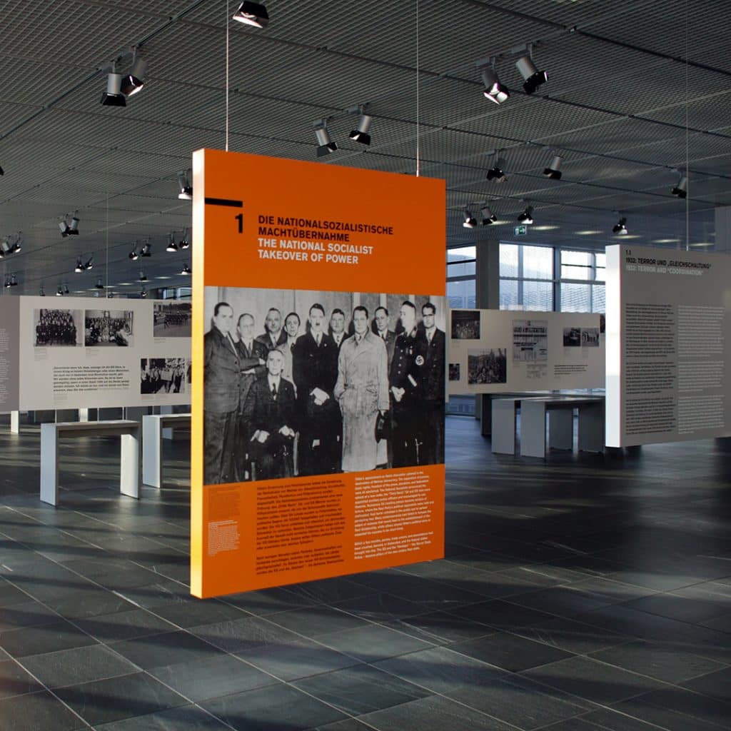
Inside the Topography of Terror

Did you know...

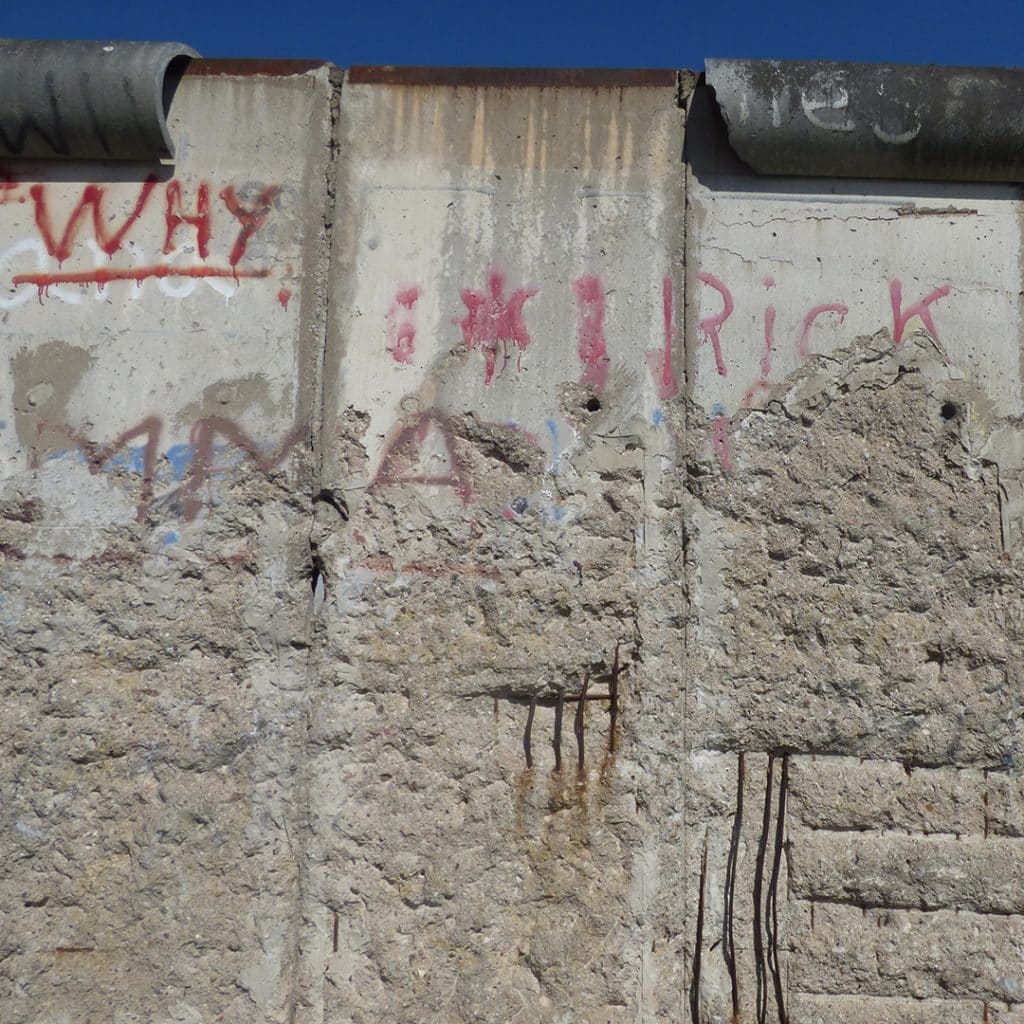
Bordering the Topography of Terror site to the north is the second longest piece of Berlin Wall remaining in the city.

Housed in a series of buildings, chiefly a former school of industrial arts and the palatial residence of Prince Albrecht of Prussia, both taken over by the Nazi security services, the Reich Main Security Office would serve as ground zero for the so-called Schreibtischtäter (Desktop Murderers), the bureaucratic workers responsible for orchestrating the genocidal policies of Nazi Germany from the safety of their offices. As these organisations and staff , directly answerable to Heinrich Himmler and Adolf Hitler above him, would also coordinate the systematic imprisonment of political opponent and the ‘protective custody’ process of the concentration camp industry.

One month after Ronald Reagan’s second visit to Germany in 1987 – the site of the SS-GeStaPo Headquarters would be transformed into a memorial and permanent exhibition showing the crimes of Nazism. Coinciding with the 750th anniversary celebrations of Berlin’s founding the same year – excavated traces of the buildings that once stood here were presented to the public, along with historical documentation.

The Nazi seizure of power in 1933 had involved the takeover of many traditional Prussian-German government offices and their corrresponding buildings on the Wilhelmstrasse – with the eventual addition of a few other notable buildings such as Hitler’s New Reich Chancellery, Herman Göring’s Aviation Ministry, and the offices of the Reich Propaganda Ministry, led by Joseph Goebbels. While the former Aviation Ministry and Propaganda Ministry buildings are still maintained as government buildings, having largely survived the Second World War, the SS-Gestapo Headquarters complex on Prinz-Albrecht-Strasse was reduced to rubble and gradually demolished after 1945 – after sustaining substantial damage from Anglo-American air raids.
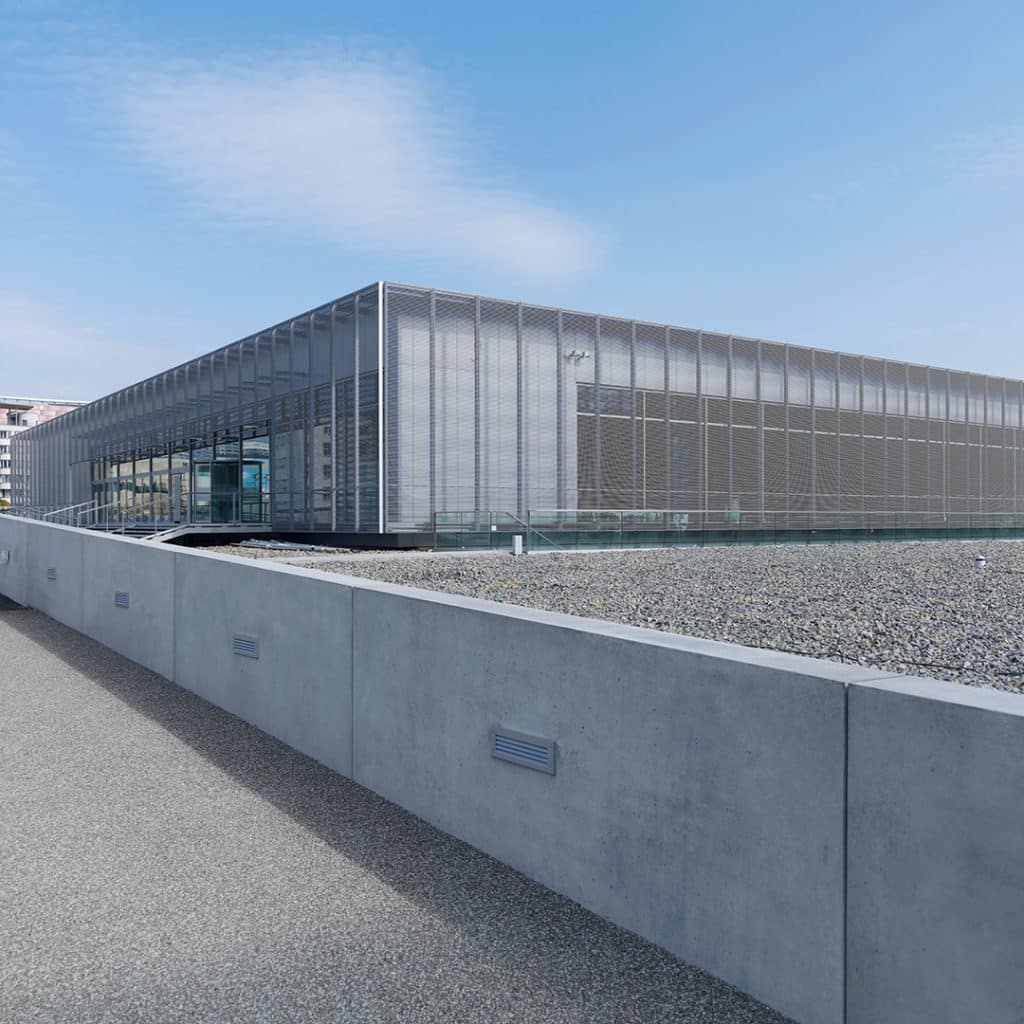
Outside the Topography of Terror
Berlin Wall section at the Topography of Terror
During the Cold War period, this site was utilised for various different, and underwhelming, purposes – used by a construction site recycling company, turned into a ‘Autodrom’ for learner drivers to practice, and at one point there were proposals to transform the area into a helicopter landing zone in the heart of West Berlin.

What was opened in 1987 as the Topography of Terror, was augmented and reopened in 2010 – with additional government funding – to be remodelled as a combination of three sites.

Firstly, a grey documentation centre containing a chronological overview of the structure, bureaucratic methodology, and murderous actions of the various different organisations that fell under the purview of the RHSA. The second aspect being an excavated former cellar space of the Gestapo headquarters, where uniforms and documents were previously stored, used in the warmer months for temporary exhibitions. And finally, a collection of information panels commenting on the terrain, and topography, of the site – intended to be experienced as part of a walking tour. Fifteen stations along a preconfigured route – that can be experienced with an audio guide – present the traces of the site in situ. Prompts for further examining the consequences of what was planned and implemented from this location.

What stands out most though about this particular endeavour, is how Topography of Terror extends its focus beyond that of other museums around the world that aim to preserve the memory of the victims of Nazi persecution and tell their stories, where National Socialist doctrine would otherwise want for these things to be forgotten. Here the spotlight is on the perpetrators, their identities, their actions, and the justifications they would give for their crimes – that sadly, would remain unpunished for decades after. Many simply allowed to escape justice entirely.

And the unique opportunity to confront the cruel actions of these men and women in situ – transforming a location that once enabled these crimes into a place to engage and prepare anyone serious about ensuring such calamity is not repeated.

Topography Of Terror

Some useful links related to the Brandenburg Gate:

FEATURED EXPERIENCES